Search This Blog

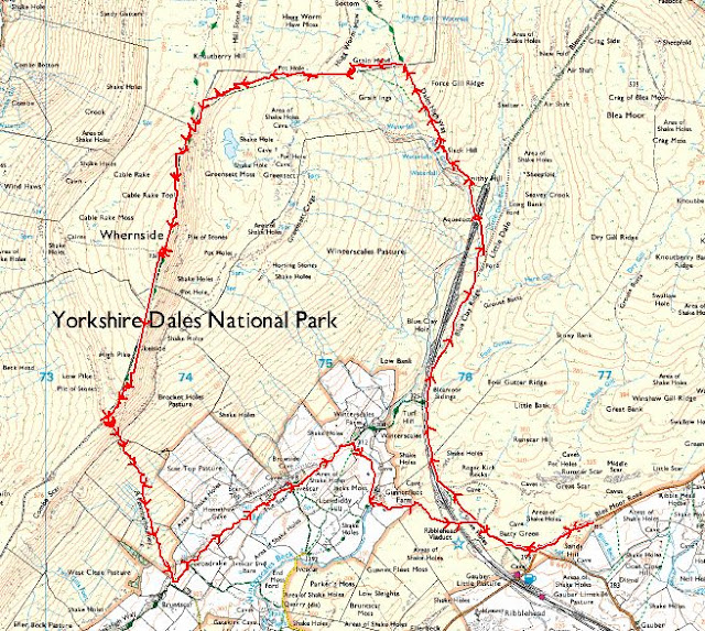
NORTH YORKSHIRE (DALES): Whernside (8 miles)


Saturday, 26th March 2022

After a “bit of a hiccup” getting to the parking spot I finally met up with Paul for a wander up Whernside. 


The weather was absolutely gorgeous – almost too warm and I’m soooo glad I didn’t take the big thick fleece jacket I was planning on wearing.  Absolutely no need for it whatsoever.  It really was t-shirt weather.


We trotted off down the road a little way before joining the main path, along with a million other people.


The task ahead:  


Getting a little nearer to Ribblehead Viaduct: 


Navigation definitely isn’t an issue on this walk.

We get to the iconic Blea Moor signal station/box: 


It could do with a bit of a spruce up and lick of paint.


It’s a fairly featureless landscape in some respects – vast moorland views although the skyline is dominated with views of Ingleborough and Pen-y-Ghent and it was a bit of a surprise to me to see how close they seem.


Hazy Ingleborough: 


I did take some more pics but the views were hazy and they didn’t turn out very well at all, but the views were better in real life. 


An unimaginatively named “waterfall” on Force Gill: 


To be honest, I could have got a better pic of this too but we were too busy yakking!


We reached a crossroads: 

By this point we were looking for a likely place for Snack Stop Number 1 and Paul suggested carrying on towards Deepdale to get away from the crowds a bit.  So that’s what we did.  The path gets noticeably rougher at this point but still easy enough underfoot.


We found a suitable tumbledown wall to perch on and stare at the even more impressive views of Ingleborough and PyG now that we were a bit higher up.  But again, the haze made the pics rubbish.


We bog-hopped along the (wrong side of the) fence, looking for a suitably bendy/saggy bit of wire fence to clamber over to re-join the main path. I was quite happy with this bog-trotting adventure, Paul, less so, I think


Another attempt at a pic of the views: 


I used the “wide” function on my phone’s camera and, well, yeh.  It flattens the two most prominent hill in view somewhat.


A little further along and we got a frog chorus. Or, as Paul called it frogpawn: 


The little dark lumps in the water are all frogs, all ribbeting away.  It was just like being in the Serangeti (or somewhere!). I took a little vid of it too, more for the frog chorus than anything (turn up the volume):


We’re heading onto the “nose” of Whernside now and I’m realising that, although I’ve been walking almost daily, doing yoga, tai chi and using the gym, there is nothing NOTHING that gets you hill fit other than walking up hills.  Something I’ve not had chance to do since November last year.  I stopped to admire the views.  A lot.  It’s not even a particularly steep gradient.  I was reassured by Paul that it gets dark around 6pm but not to worry, he’d brought a headtorch!


The tarn on Greensett Moss: 


With Ingleborough looking pretty impressive beyond.


After what seemed like ages (probably was) we reached the trig. I tapped the top and took this shot quickly before more people appeared:


There’s a squeeze-stile to get through coming the way we came and it’s not very forgiving!


There are also a couple of little shelters either side and I sat in one of them to tend to a blister that was making an appearance on my heel – thanks Paul for the Compeed – I’m now a convert and think these are a viable workaround for my shoe stitching issue.


We didn’t stop long here as there was lots of people drifting past. Including three blokes, one of whom was on his first ever hill walk – he looked a bit tired!  Paul offered to take a pic of the three of them at the trig and one of the guys clambered up and stood on the top of it.  Rather him than me!


But oh, the views from the top were gorgeous.  Although we were under cloud, the surrounding hills were dappled with sunlight and cloud shadows and it looked gorgeous.  The Howgills looking all lumpy and bumpy and inviting to the north.  Ingleborough and Pen-y-Ghent looking pretty imposing to the east.  The Lake District mountains were just visible through the haze to the west.  The vast flatness (in comparison) of the rest of England to the south and Morecambe Bay just visible in between.


We trotted off on the easy (at the moment) descent before taking a left turn down the hillside to join The Pennine Journey path.


Before we dropped too far down, we found some convenient rocks for Snack Stop Number 2.  Paul pointed out the path we were to follow back to the viaduct.  It still looked a long way away!


Fed and watered for a second time, we continued steeply down the hillside, made somewhat easier by the newly laid stone steps – a weird green colour and definitely not native.  I hope they weather a bit.


The gradient eased after we reached the gate and it was a pleasant meander through farmland where I saw lambsies:


My first of the year.  Awwwwwww


And so back to the viaduct again: 


An attempt at an arty-farty pic: 


Plaque: 


I had a brief rest here as my legs were sore now but it really wasn’t far back to the cars.


Back at the cars we checked the scores on the doors.  I was interested to know how my new mapping app had fared I got a splidge over 8 miles, Paul got a splidge over 9 miles. It felt like a splidge over 20 miles.


But whether it was 8 or 9 miles, it was a smashing walk and not bad going (for me) as the longest walk I’ve done this year so far.  Anyway, it’s given me restless legs and wanderlust again.


Cheers to Paul for organising.  A smashing day out in the hills and that's my final Y3P ticked off...

.... Now for the N3P (eeeeek). 


Thanks for reading 😊


CUMBRIA: Graystones, Broom Fell and Lords Seat (9 miles)

Sunday 21st November 2021


Day 2 of my much needed clomp round the hills saw me meeting up with Paul and Colin for, what I can only describe as a meticulously planned, well thought out and perfectly executed meet.


Starting with Colin standing sentinel at the entrance to the parking spot because Paul had wandered off to round me up, thinking I’d go and park in the wrong place. ‘Fraid I can’t fault that logic.


It was an absolutely stonkingly glorious day. My car’s temperature gauge said 0 degrees and a snowflake and there was wall to wall sunshine and blue skies. A complete contrast to yesterday.


We decided to go up Graystones first as it would be the steepest bit of the day and probably better in ascent than descent. Though after seeing it, there was no “probably” about it. Paul suggested we meander up the forestry track to gain some height in a more dignified manner before tackling the final third of near-vertical “up”. A forest track is a forest track and I didn’t take any pics. We eventually left the track for a, erm, less trodden path. Luckily this was short and sweet and we arrived at a wire fence. Apparently there used to be a stile here but it had been replaced with more wire fencing. Colin, being the tallest, tried a bit of DIY castration as he climbed over it. Based on that dynamic risk assessment Paul decided to stay this side, and so did I.


And so started the unrelentingly steep bit. Obviously with us all being serious walkers we strode up the hillside confidently and will vehemently deny any suggestion that any of us used the wire fence to cling on to/haul ourselves up by


Looking down the steep hillside:


The views were coming along nicely and I stopped frequently to admire them


We reached a corner in the fenceline but luckily this had a wooden “thing” that could be climbed over with relative ease. Well, I climbed over it with relative ease. Colin was already on the other side of it. So that just left Paul..


Up ahead, more up. And a little rocky clamber. And about 3 false summits later we actually got to “the top”. Oooh the views


Having reached “the top” I assumed we were on Graystones summit. I have no sense of direction. Just sayin’


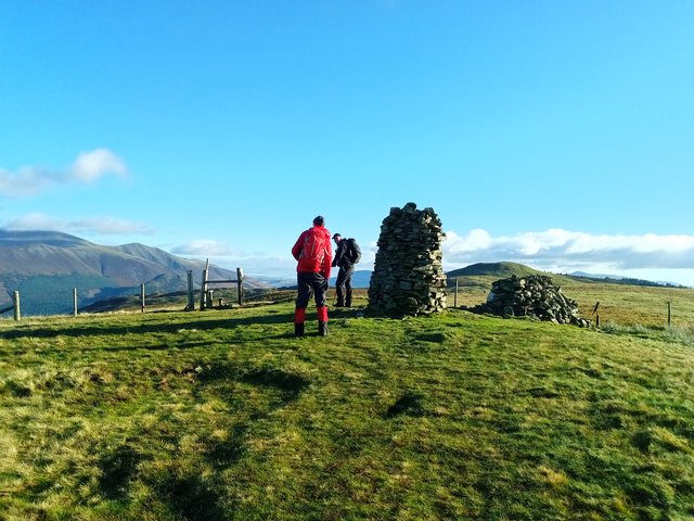
Apparently there are two summits – the real one and the Wainwright one. So we bagged them both to be on the safe side.


Scotland looked very close from here. My camera didn’t pick that up :


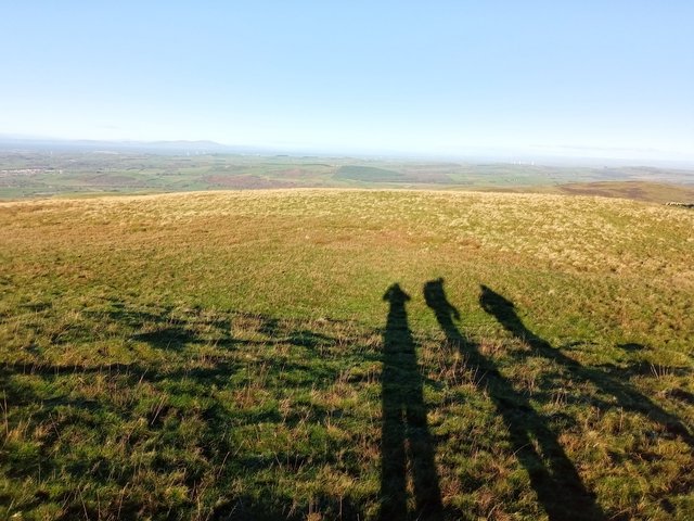
But, had there been swirling cloud, I’m sure these Shadow Monsters would have been amazing brocken spectres instead.


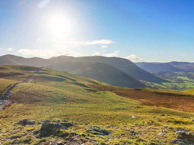
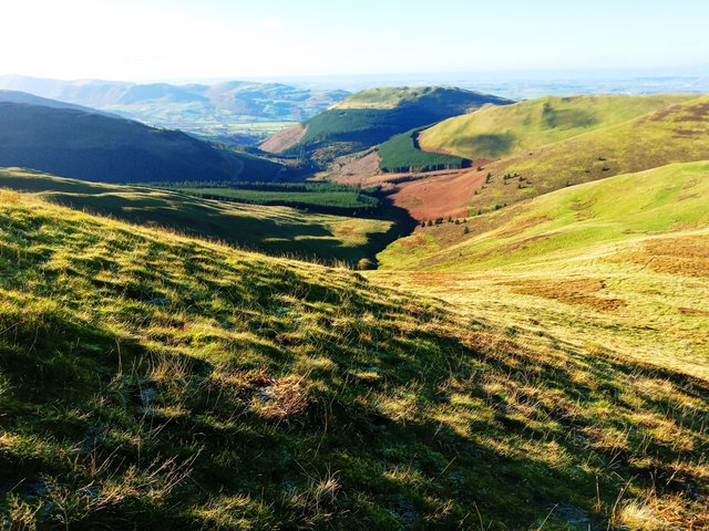
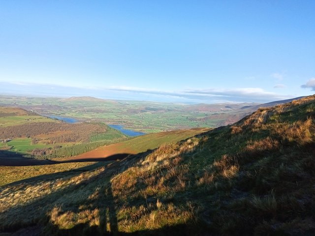
More views:


What actually was I looking at there? Already I was completely disorientated-ish and when Paul checked his gadget-mi-bob I just pretended that the direction he wandered off in was exactly where we were going anyway


And from part way up Broom Fell (I think) looking back:


I could quite happily have bounced around on all the frost-tickled, frozen puddled lumps and bumps of these fell tops all day. It was a proper rosy-cheeked, sparkly-eyed (and runny-nosed) sort of day. My absolute favourite walking conditions


Broom Fell:


We stopped here and had a snack stop. I’m liking that the summit shelter has seats on both sides and we nabbed the in the sun, sheltered from the wind side, leaving the shaded, unsheltered side (but had better views) for the family with delightfully vocal child to enjoy.


Skiddaw with Bassenthwaite Lake peeping into view:


Looking back the opposite way:


And to the Back o Skiddaw and Bassenthwaite Lake still feeling a little bit shy:


Fed and watered, we wandered off to Lords Seat:


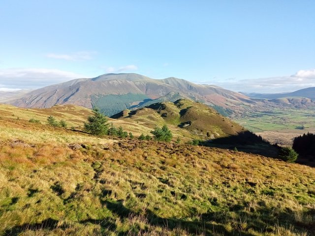
Looking down to Barf with Skiddaw looming impressively behind:


The original plan was to do Barf too but I was conscious of the time and, after a bit of a conflab, decided to miss it out It looks superbly lumpy and bumpy and I will be back.


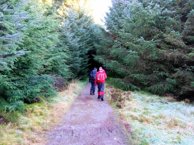
Sadly, all that remained now was to get off Lords Seat and wander haphazardly through the forest where hobgoblins and pixies live. I’ve no idea why I didn’t take any pics of the wonderful mossy woodland floor. I’m not normally a fan of pine forests but this, the forest floor at least, was quite enchanting.


I was feeling another snack stop sort of urge and as we rounded a corner and came into the sunshine I spotted a nice log bench to sit on. Except a couple coming the other way got there first (how dare they!) So we carried on, looking out for something similar before we lost the sunshine. Colin spotted some tree stumps next to the track which looked as good a place as any, so we perched and snacked, in the last of the sunshine.


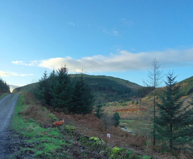
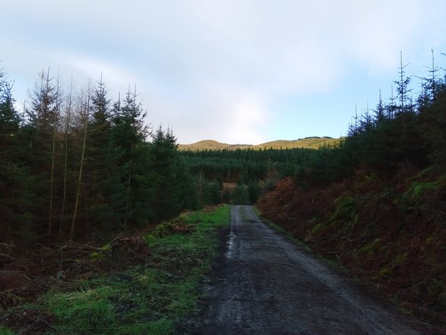
I can’t make my mind up about forestry tracks. On the one hand, it’s easy walking on gentle gradients, which is very welcome at the end of a walk, but on the other, it’s a bit dull, particularly after the stonking good views from “up there”.


Fleeting glimpses of the fells:


And looking the other way:


We were nearly back at the cars and decided on a quick visit to Spout Force:


But the path was closed for forestry/maintenance work(?) so we retraced our steps and headed back to the cars.


Well I thought it was an absolutely smashing day and a great way to end my little mini-break in the Lakes. Thanks guys for the company, chat and chuckles … and the, umm, navigational assistance


Thanks for reading.


CUMBRIA: Latrigg and Fitz Park (7.7 miles)

 Saturday, 20th November 2021


I had a lovely weekend based in Keswick.  I stayed at Lindisfarne House on Church Street in Keswick.  Lovely comfy room, warm, en-suite, wifi and a delicious breakfast.  What's not to like!

The weather was looking a bit iffy today so I chose a nice autumnal "see where my feet take me" mooch.  I ended up on Latrigg, returning through Fitz Park.

Looking along the River Greta:


Latrigg:

And the Skiddaw range:

After following the main "4 miles to Skiddaw" path I spotted a woodland trail off to the right.  I decided to follow it.  I got fleeting glimpses across Keswick and Derwent Water to Catbells:


And from a little higher up:


I was enjoying the woodland trail and kept to the higher paths.  But suddenly, I burst out onto the tree graveyard.  I bit of a shock to the system:


After a quick look at the map I decided I didn't want to follow the full trail to the end, particularly as the weather was squally now.  So I decided to go straight up the side of the fell, across the tree graveyard to the top of Latrigg.  It was very steep and perhaps stood me in good stead for tomorrow's walk.  This was a bit of a trespass really and I aimed for a fenceline I could see which, if I could get over it, would put me on access land.  Luckily I found a gate.  Alright, I had to climb over it as it was tied shut, but sturdy enough not to collapse on me.

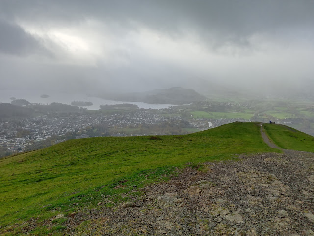
I eventually reached the top Latrigg and saw the weather front coming in: 


The path was very busy and I decided to wander a bit over Mallen Dodd to see what I could see:


Hmm, more weather heading my way.  I made a not very hasty retreat back to the path, hood up now as it was windy and raining. 

I followed the Cumbria Way for a while back down, stopping at a large tree trunk for a snack stop in the shelter of some trees.  Then I decided to take a less trodden looking path off the main track.  I'm glad I did as it was a very gentle way down Whinny Brow and some lovely views:


I rejoined my outward route for a while.  It was properly raining now and I decided to have a proper wander round Fitz Park to see the autumnal colours:


I loved the contrast of the dark trunk and branches against the russet / copper of the leaves on this Beech tree.

After a really rather random walk I reached the river and wandered along it for a while.  It reminded me a little of a smaller version of a walk along the River Severn through the park in Shrewsbury.

Wonderful wooden eagle sculpture:


The rain was dripping off me now so I headed back to my B&B for a quick cuppa and five minutes feet up before heading out again for a mooch round the shops.  The rain had all but stopped now so at least I wasn't dripping soggily in all the shops.

I bought some new walking shoes - Keen Targhee III, had fish and chips for my tea and got sorted for tomorrow's walk.

Despite the kakky weather it was a really nice mooch - it was a lovely blend of river, hill, woodland ... and shopping!  I felt myself unwinding and relaxing as the day went on.  

Thanks for reading.