Search This Blog

Showing posts with label Cumbria. Show all posts

CUMBRIA: Graystones, Broom Fell and Lords Seat (9 miles)

Sunday 21st November 2021


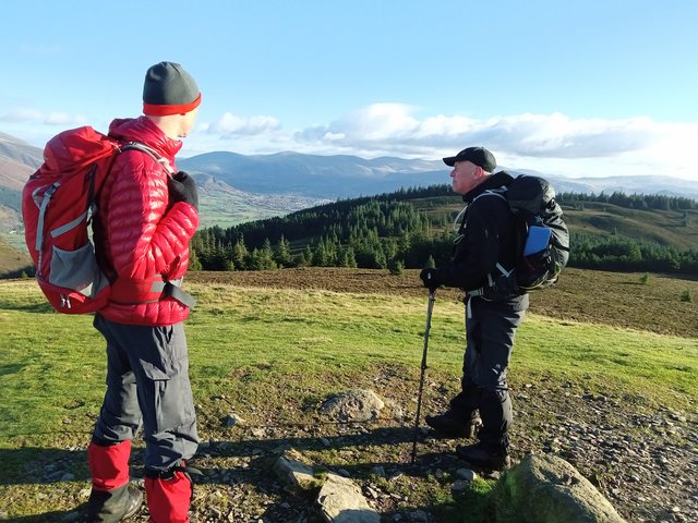
Day 2 of my much needed clomp round the hills saw me meeting up with Paul and Colin for, what I can only describe as a meticulously planned, well thought out and perfectly executed meet.


Starting with Colin standing sentinel at the entrance to the parking spot because Paul had wandered off to round me up, thinking I’d go and park in the wrong place. ‘Fraid I can’t fault that logic.


It was an absolutely stonkingly glorious day. My car’s temperature gauge said 0 degrees and a snowflake and there was wall to wall sunshine and blue skies. A complete contrast to yesterday.


We decided to go up Graystones first as it would be the steepest bit of the day and probably better in ascent than descent. Though after seeing it, there was no “probably” about it. Paul suggested we meander up the forestry track to gain some height in a more dignified manner before tackling the final third of near-vertical “up”. A forest track is a forest track and I didn’t take any pics. We eventually left the track for a, erm, less trodden path. Luckily this was short and sweet and we arrived at a wire fence. Apparently there used to be a stile here but it had been replaced with more wire fencing. Colin, being the tallest, tried a bit of DIY castration as he climbed over it. Based on that dynamic risk assessment Paul decided to stay this side, and so did I.


And so started the unrelentingly steep bit. Obviously with us all being serious walkers we strode up the hillside confidently and will vehemently deny any suggestion that any of us used the wire fence to cling on to/haul ourselves up by


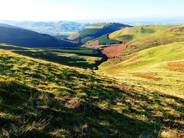
Looking down the steep hillside:
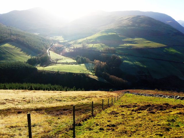


The views were coming along nicely and I stopped frequently to admire them


We reached a corner in the fenceline but luckily this had a wooden “thing” that could be climbed over with relative ease. Well, I climbed over it with relative ease. Colin was already on the other side of it. So that just left Paul..


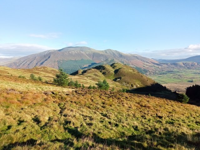
Up ahead, more up. And a little rocky clamber. And about 3 false summits later we actually got to “the top”. Oooh the views


Having reached “the top” I assumed we were on Graystones summit. I have no sense of direction. Just sayin’


Apparently there are two summits – the real one and the Wainwright one. So we bagged them both to be on the safe side.


Scotland looked very close from here. My camera didn’t pick that up :


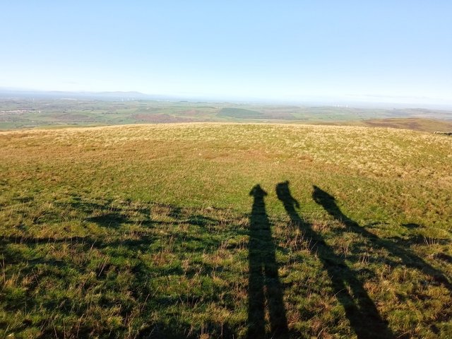
But, had there been swirling cloud, I’m sure these Shadow Monsters would have been amazing brocken spectres instead.


More views:
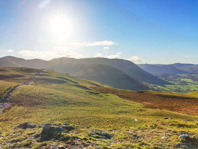


What actually was I looking at there? Already I was completely disorientated-ish and when Paul checked his gadget-mi-bob I just pretended that the direction he wandered off in was exactly where we were going anyway


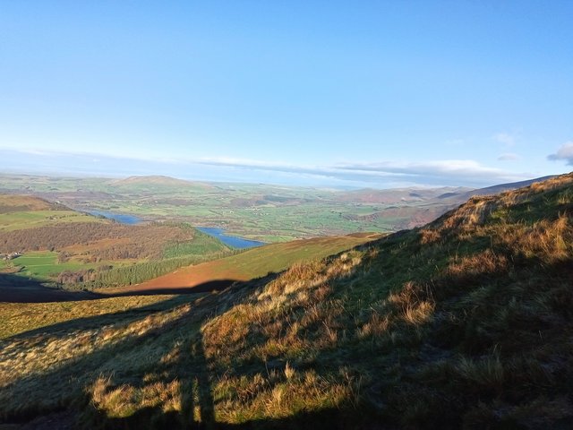
And from part way up Broom Fell (I think) looking back:
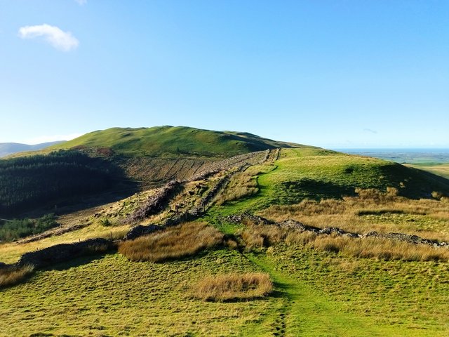


I could quite happily have bounced around on all the frost-tickled, frozen puddled lumps and bumps of these fell tops all day. It was a proper rosy-cheeked, sparkly-eyed (and runny-nosed) sort of day. My absolute favourite walking conditions


Broom Fell:
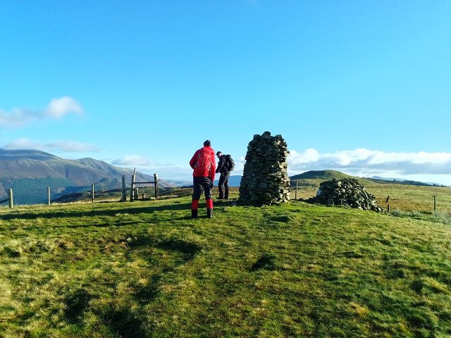


We stopped here and had a snack stop. I’m liking that the summit shelter has seats on both sides and we nabbed the in the sun, sheltered from the wind side, leaving the shaded, unsheltered side (but had better views) for the family with delightfully vocal child to enjoy.


Skiddaw with Bassenthwaite Lake peeping into view:


Looking back the opposite way:


And to the Back o Skiddaw and Bassenthwaite Lake still feeling a little bit shy:


Fed and watered, we wandered off to Lords Seat:


Looking down to Barf with Skiddaw looming impressively behind:


The original plan was to do Barf too but I was conscious of the time and, after a bit of a conflab, decided to miss it out It looks superbly lumpy and bumpy and I will be back.


Sadly, all that remained now was to get off Lords Seat and wander haphazardly through the forest where hobgoblins and pixies live. I’ve no idea why I didn’t take any pics of the wonderful mossy woodland floor. I’m not normally a fan of pine forests but this, the forest floor at least, was quite enchanting.
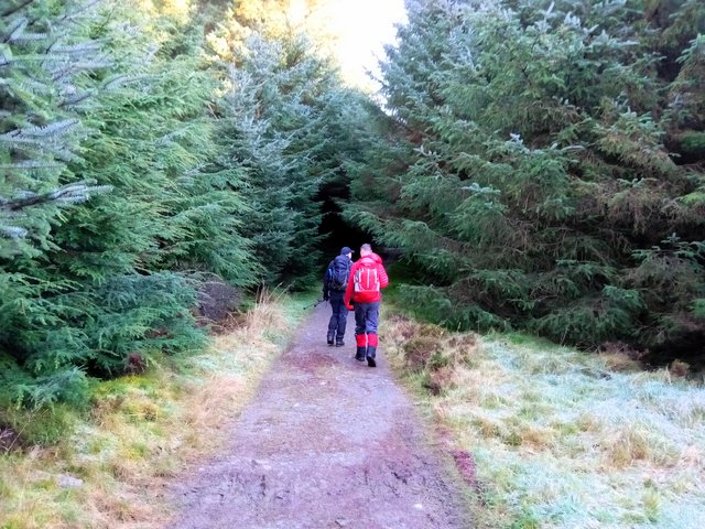


I was feeling another snack stop sort of urge and as we rounded a corner and came into the sunshine I spotted a nice log bench to sit on. Except a couple coming the other way got there first (how dare they!) So we carried on, looking out for something similar before we lost the sunshine. Colin spotted some tree stumps next to the track which looked as good a place as any, so we perched and snacked, in the last of the sunshine.


I can’t make my mind up about forestry tracks. On the one hand, it’s easy walking on gentle gradients, which is very welcome at the end of a walk, but on the other, it’s a bit dull, particularly after the stonking good views from “up there”.


Fleeting glimpses of the fells:
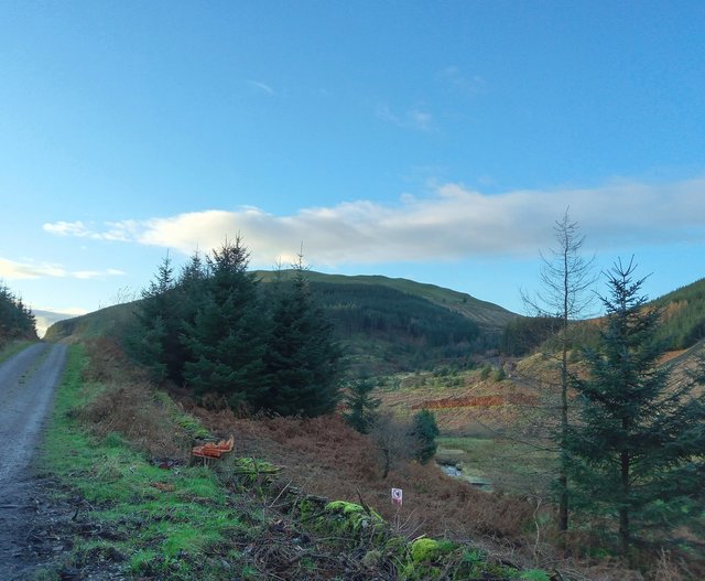


And looking the other way:
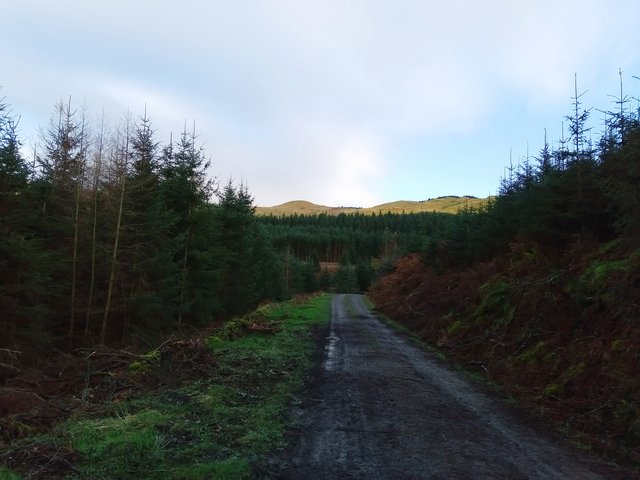


We were nearly back at the cars and decided on a quick visit to Spout Force:


But the path was closed for forestry/maintenance work(?) so we retraced our steps and headed back to the cars.


Well I thought it was an absolutely smashing day and a great way to end my little mini-break in the Lakes. Thanks guys for the company, chat and chuckles … and the, umm, navigational assistance


Thanks for reading.


CUMBRIA: Latrigg and Fitz Park (7.7 miles)

 Saturday, 20th November 2021


I had a lovely weekend based in Keswick.  I stayed at Lindisfarne House on Church Street in Keswick.  Lovely comfy room, warm, en-suite, wifi and a delicious breakfast.  What's not to like!

The weather was looking a bit iffy today so I chose a nice autumnal "see where my feet take me" mooch.  I ended up on Latrigg, returning through Fitz Park.

Looking along the River Greta:


Latrigg:

And the Skiddaw range:

After following the main "4 miles to Skiddaw" path I spotted a woodland trail off to the right.  I decided to follow it.  I got fleeting glimpses across Keswick and Derwent Water to Catbells:


And from a little higher up:


I was enjoying the woodland trail and kept to the higher paths.  But suddenly, I burst out onto the tree graveyard.  I bit of a shock to the system:


After a quick look at the map I decided I didn't want to follow the full trail to the end, particularly as the weather was squally now.  So I decided to go straight up the side of the fell, across the tree graveyard to the top of Latrigg.  It was very steep and perhaps stood me in good stead for tomorrow's walk.  This was a bit of a trespass really and I aimed for a fenceline I could see which, if I could get over it, would put me on access land.  Luckily I found a gate.  Alright, I had to climb over it as it was tied shut, but sturdy enough not to collapse on me.

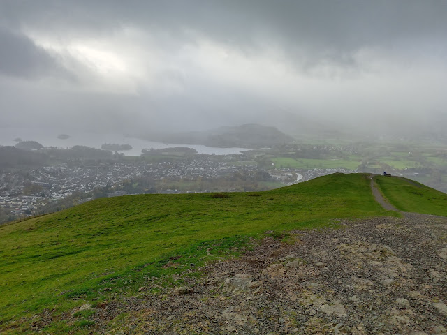
I eventually reached the top Latrigg and saw the weather front coming in: 


The path was very busy and I decided to wander a bit over Mallen Dodd to see what I could see:


Hmm, more weather heading my way.  I made a not very hasty retreat back to the path, hood up now as it was windy and raining. 

I followed the Cumbria Way for a while back down, stopping at a large tree trunk for a snack stop in the shelter of some trees.  Then I decided to take a less trodden looking path off the main track.  I'm glad I did as it was a very gentle way down Whinny Brow and some lovely views:


I rejoined my outward route for a while.  It was properly raining now and I decided to have a proper wander round Fitz Park to see the autumnal colours:


I loved the contrast of the dark trunk and branches against the russet / copper of the leaves on this Beech tree.

After a really rather random walk I reached the river and wandered along it for a while.  It reminded me a little of a smaller version of a walk along the River Severn through the park in Shrewsbury.

Wonderful wooden eagle sculpture:


The rain was dripping off me now so I headed back to my B&B for a quick cuppa and five minutes feet up before heading out again for a mooch round the shops.  The rain had all but stopped now so at least I wasn't dripping soggily in all the shops.

I bought some new walking shoes - Keen Targhee III, had fish and chips for my tea and got sorted for tomorrow's walk.

Despite the kakky weather it was a really nice mooch - it was a lovely blend of river, hill, woodland ... and shopping!  I felt myself unwinding and relaxing as the day went on.  

Thanks for reading.
CUMBRIA: Wasdale (9.9 miles)

 Saturday, 25th September 2021

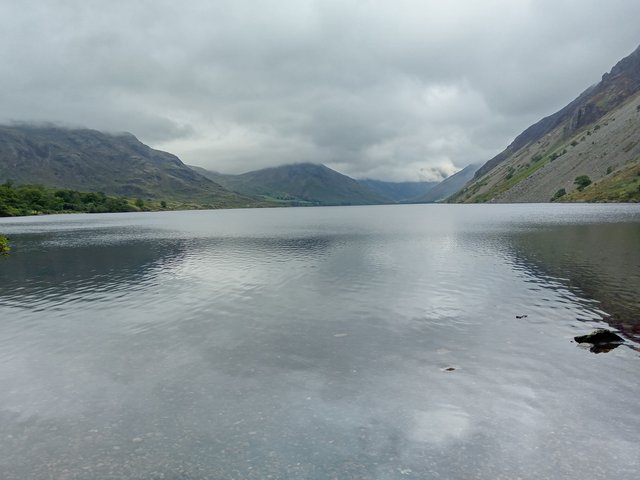
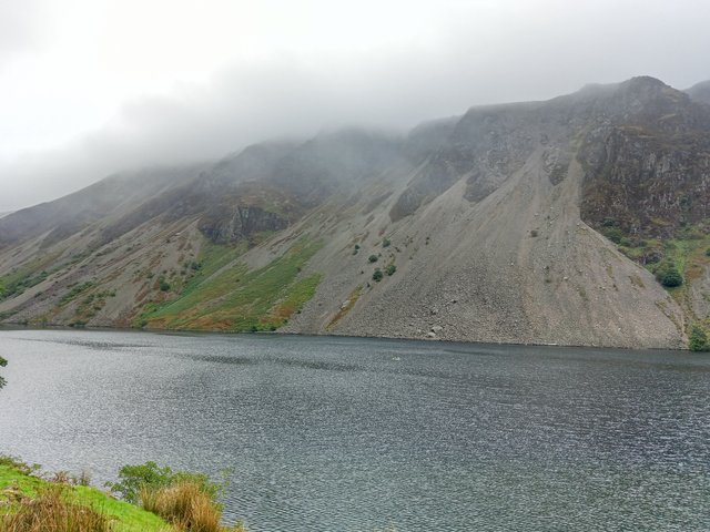
My favourite pic of the day


All I’ll say is nothing went as planned..

Due to getting to the M62 Leeds/Manchester corridor bang on rush hour, then roadworks, the 4 hour drive took me 6, resulting in an interesting drive over Hard Knott Pass in the dark and fog – not for the faint-hearted

Which meant I got to my accommodation after they’d stopped serving food – but luckily I had contingency plans so didn’t go hungry. The room was lovely, clean, warm, comfy bed, en-suite, free parking and wifi. All my tick boxes ticked.

After seeing a comment about a shuttle bus running to Wasdale Head I enquired about it, my plan being to bus up to the end of the lake and walk back either down the Miterdale valley or over Illgill Head and Whin Rigg, depending on the weather/visibility. Yes, they knew about it but no they didn’t know where it was running from, or the times.

I went on an exploratory mission to see if I could find anything out or flag the bus down if it passed me. It didn’t.

At the start of the walk the tops were cloud free:


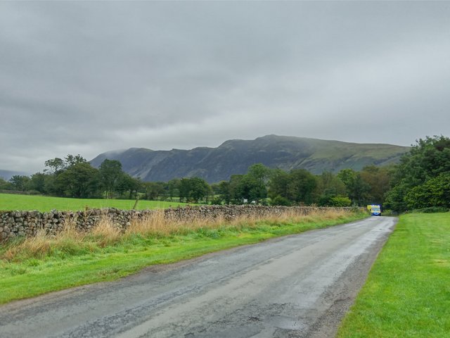
The hills this side of the lake are cloud free too:


I reach the junction:


Still no bus.

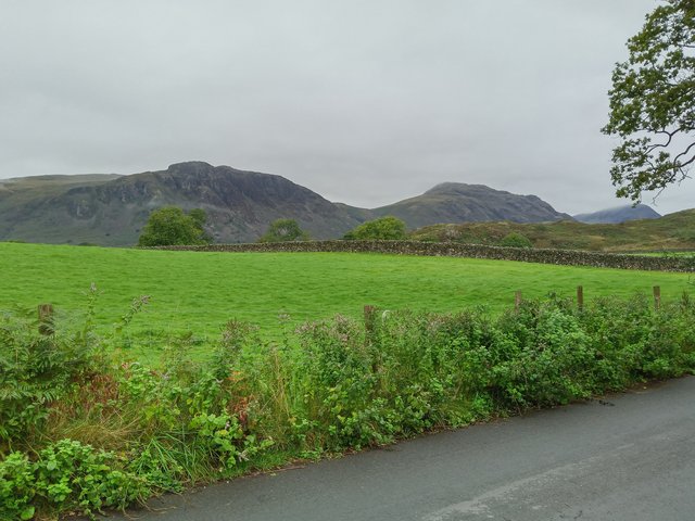
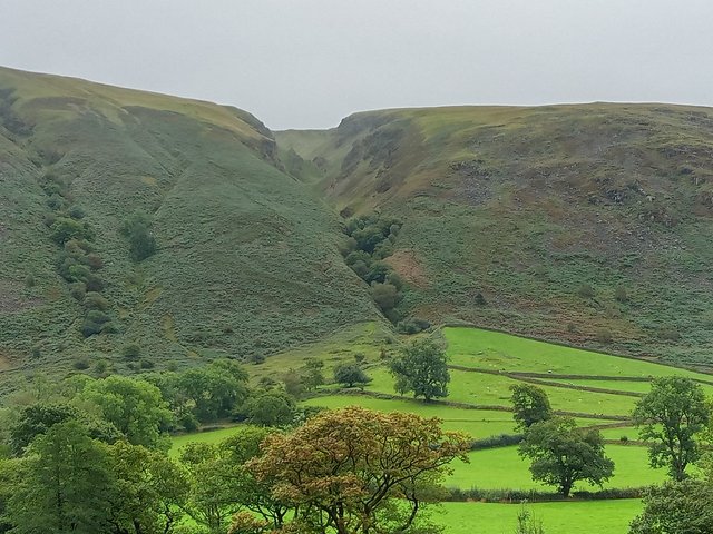
So I decide to walk down the road (hoping the bus would pass me and I could mebby flag it down). I got a good look at Greathall Gill and the path down the side of it:


Impressive. It looks steeper in real life.

I cross the cattle grid:


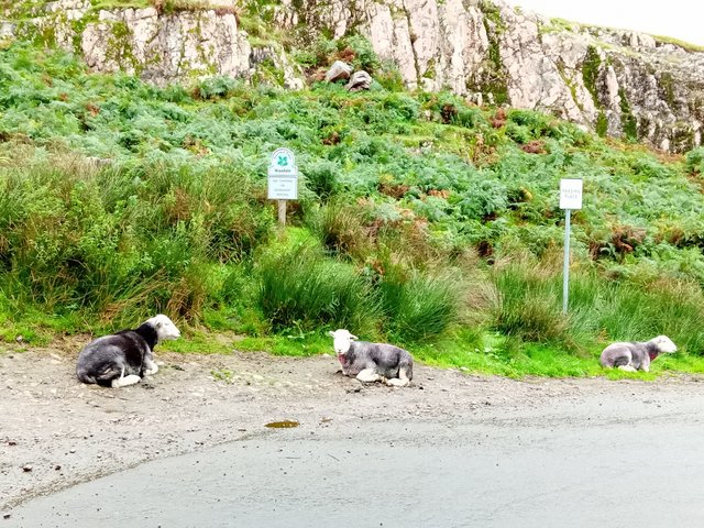
The sheep clearly have no respect for the “no camping or overnight parking” signs. Defiant little cuties

Still no bus.

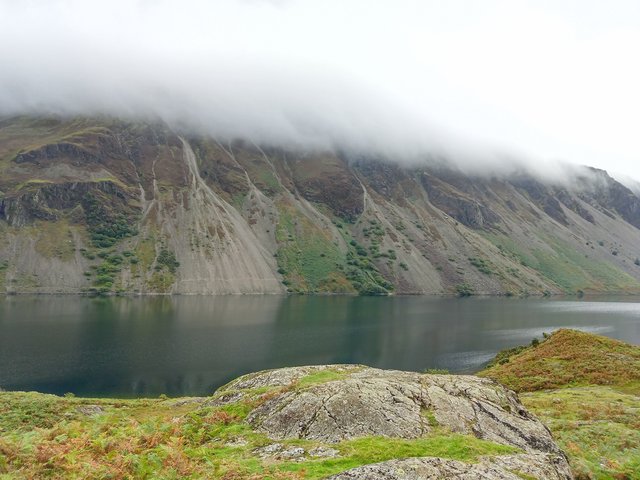
A lovely view down the lake and of the cloud now capping Illgill Head:


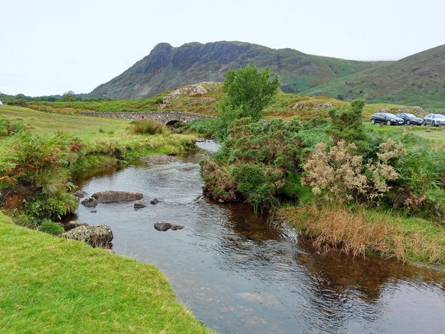
I decide to get off the road and wander over the lumps and bumps along the edge of the lake, and find a nice little stream:


Lots of parking spaces along this road. Mostly used by canoerists (new word) and paddle-boarders by the looks of things. I made a mental note.

I also made a note of the cloud getting lower and lower and further and further along my return route :


I find a nice little rocky perch near Netherbeck Bridge for Snack Stop Number 1 and ponder my options:


The first option being; put my waterproofs on

The second option being; change my return route to the flanks of the fells behind me (Middle Fell and Buckbarrow) as they were cloud free:


Personally, I see little point of heading into the clouds and being robbed of the views.

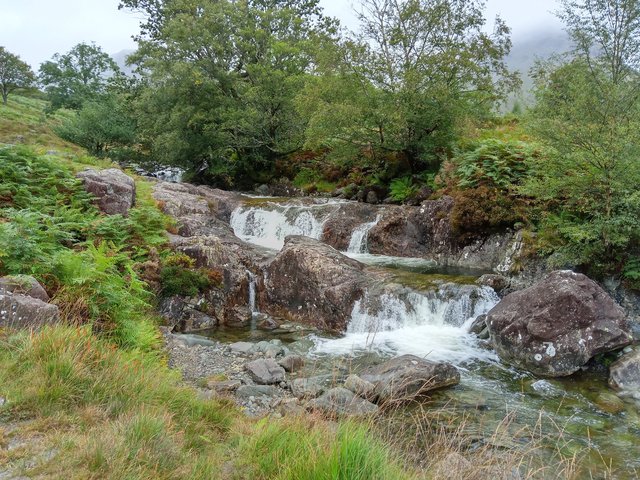
Decision made, I wander a little further up to Overbeck Bridge then retrace my steps back to my snack stop rock. I head up by the side of Nether Beck in search of the waterfall:


This isn’t the waterfall marked on the map – that’s a little further up. I didn’t go to find that. I probably should have done but I was now eying up the cloud wafting over my new return route.

I stayed lower than intended, following sheep trods and bashing my way through shoulder-high bracken. Whenever it got too difficult I returned to the road and explored the lumps on the lake side:


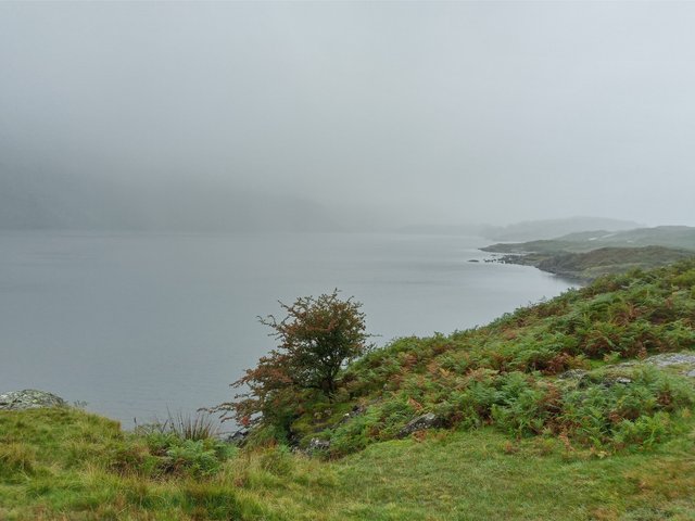
Visibility at lake-level was now a bit iffy but at least I had some views still.

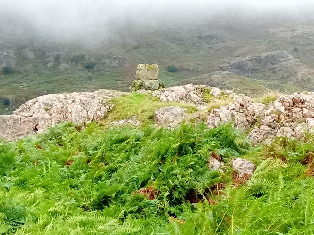
Back on the Buckbarrow side of the road and I spotted this curious looking cairn thing:


Random. And note the cloud is just above head-height now.

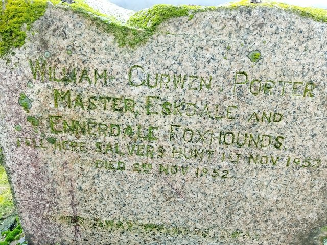
The other side of it reveals:


Ahh, not so random. And when you look, there are quite a few little rocky lumps with these memorial stones adorning them.

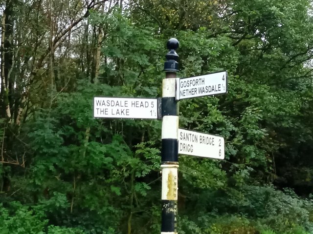
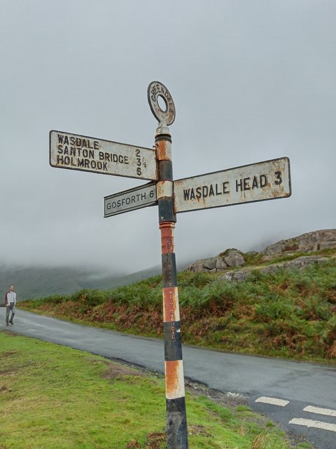
I reach the Gosforth road junction:


The pic is looking towards Middle Fell which, as you can see is now wearing a beautiful cloudy overcoat.

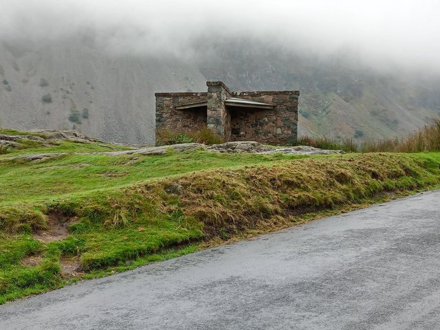
Back on the road again and this little shelter reminds me of the one on Helvellyn with its 4 quarters:


Except there’s wooden benches and a roof. So nothing like the Helvellyn shelter really

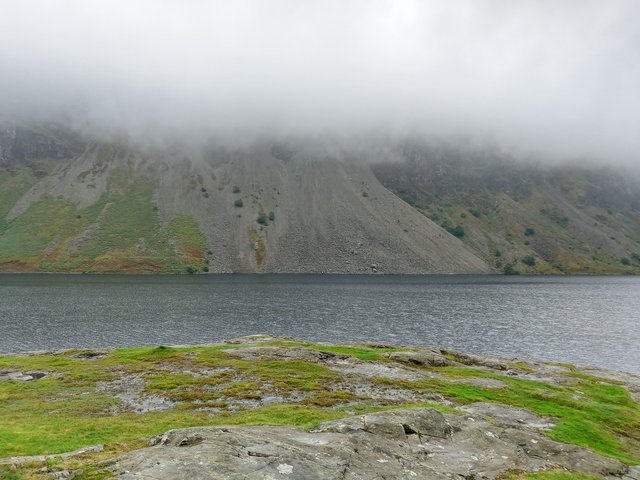
A quick snap of the bouldery screes path before it gets gobbled up in cloud:


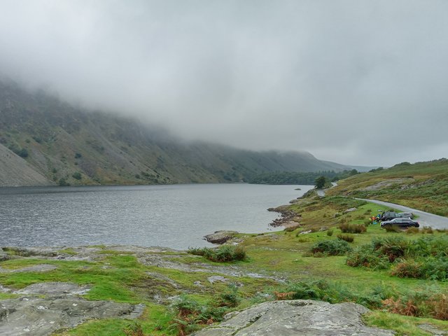
And another looking south:


I’m glad I stayed low. At least I got some interesting views

Back at the cattle grid again and I take the shoreline path through the woodland:


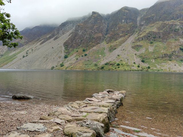
I find a little “beach” and decide it is Snack Stop Number 2 time:


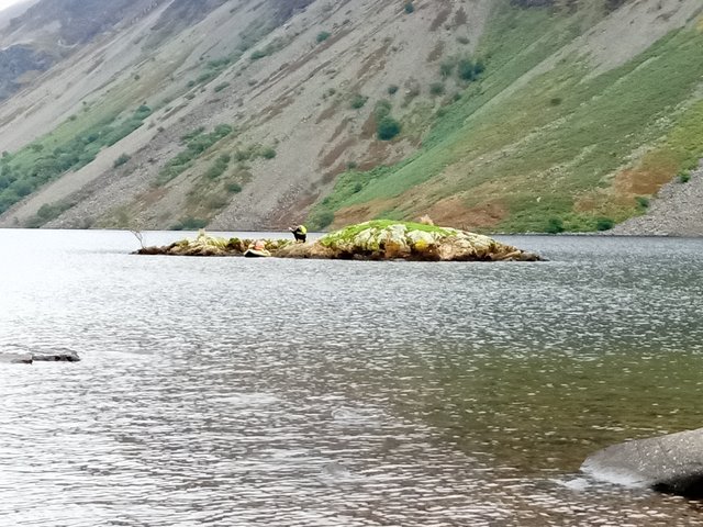
This family were hitching a ride on the Wast Water Hippo. I found a comfy boulder and had a paddle. I sat for a while with my feet in the water and some little fish came swimming around me. They even had a nudge (or nibble) at my feet. It tickled! Quite mesmerising and fascinating to watch them

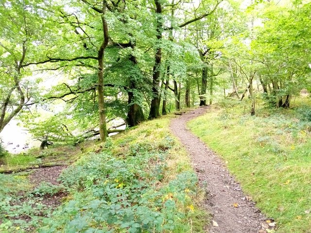
Back into the woodland:


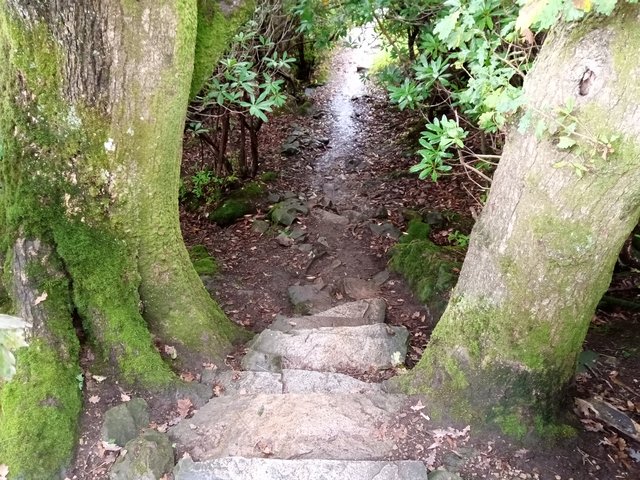
What a lovely walk. Mossy, green, broadleaf woodland with that lovely damp, earthy smell. This would be a great short autumnal walk.

Arty-farty pic:


And wouldn’t you guess? The cloud’s nearly off the tops now

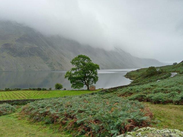
This path gives a great full length view of Wast Water though:


Plenty of benches to sit on (the first one being immediately after I’d stopped for my second snack!)

I head back up to the road on a steep field full of sheep. I pause to get my breath at the top and turn round:


OoooOOoooOOOoooooh, lovely

All that remains now is a road-plod back to The Strands. I was in no rush as I’d not managed to get an evening meal booked at breakfast (fully booked already).

And wouldn’t you guess? The sun came out and by late evening the tops were completely cloud free. Anyone wild-camping up there would have been gifted with an absolutely smashing sunset.

I’m guessing I wasn’t meant to walk “up there” today. Funny really, as I woke up with an odd feeling. At the time I put it down to that nervous excitement of the day ahead feeling (don’t know if anyone else feels this). But maybe it wasn’t.

Whilst I was getting my shower I found a tick on my thigh. A flat, dead tick. Firmly embedded into me. With evidence that I’d been scratting at it through my trousers. Its removal wasn’t 100% successful and I was left with its gob still stuck in me, feeling a little like a splinter does. I hope it wasn’t carrying Lyme Disease. I didn’t have my proper tweezers with me so after I’d poked and prodded in vain, I slathered it in hand sanitiser and hoped for the best until I got home and could remove it properly. For good measure I sanitised my insides with a glass of wine. All of it has now been removed and I’m left with nothing more than a little bump at the bite site, so fingers crossed.

After another lovely night’s sleep and yummy breakfast my original intention was to go and scamper up Latterbarrow on my way home. But, it was absolutely lashing down with rain so I sacked that idea off and instead enjoyed my return drive over Hard Knott Pass in the fog. I did stop at the top momentarily to look at the views but got blasted with sideways rain and got no views so continued my journey home…. Where the M6 was closed due to a spillage or something and we were at a standstill for over an hour. A proper engines off standstill. I got out of my car for a leg stretch and made a brew and had a natter with a few other drivers doing the same. Make the best of a situation you can’t change, I say

Given that nothing went to plan, I had a smashing time. Free-range walking. Make it up as you go along. Fantastic atmospheric views. Lots of lumps and bumps to explore. Woodland. Waterfalls. A lake. Curious things to investigate. Babbling brooks. Disobedient Herdies. Happy people.

The Strands is looking for staff if anyone needs a job.


Thanks for reading